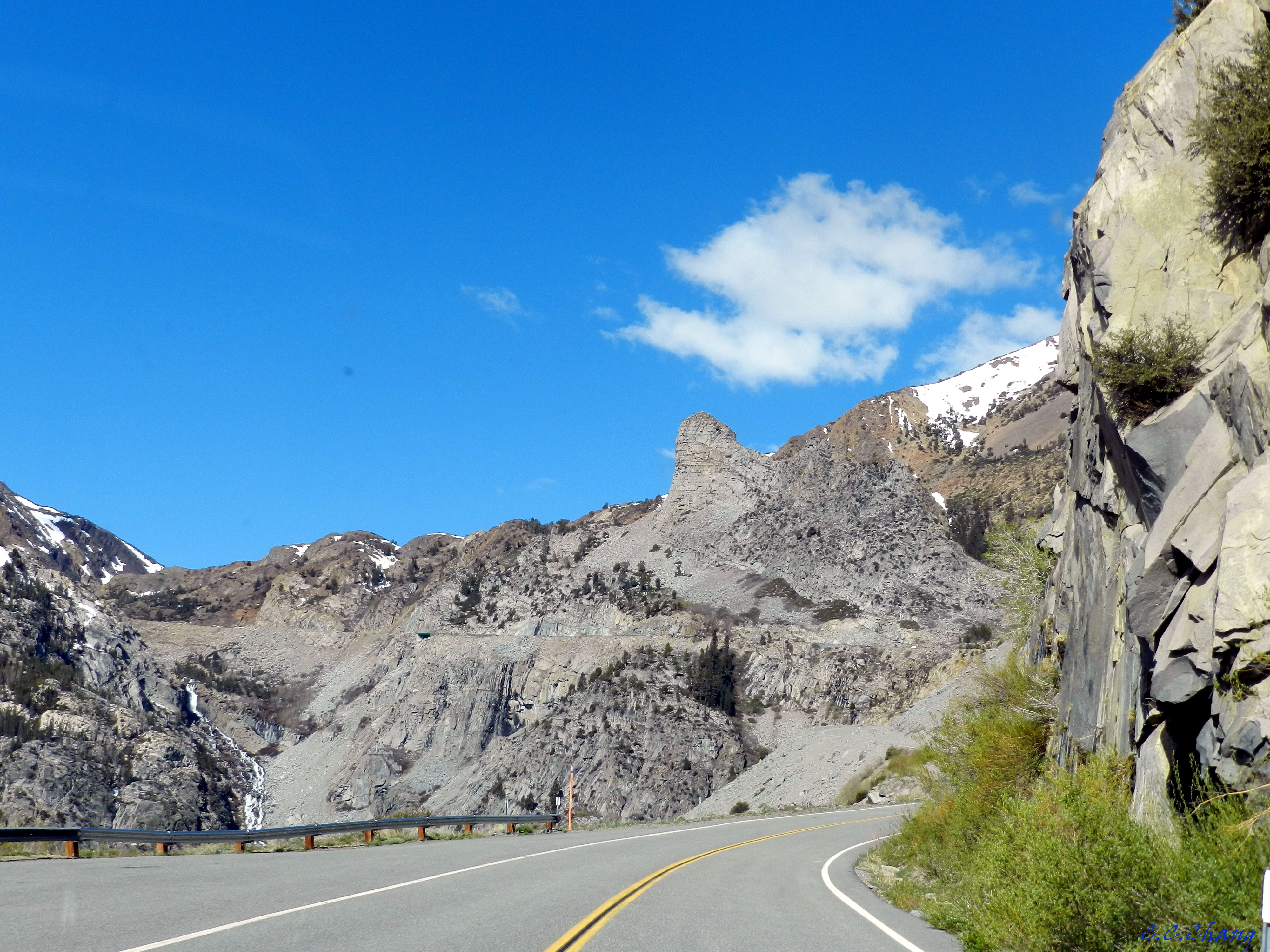
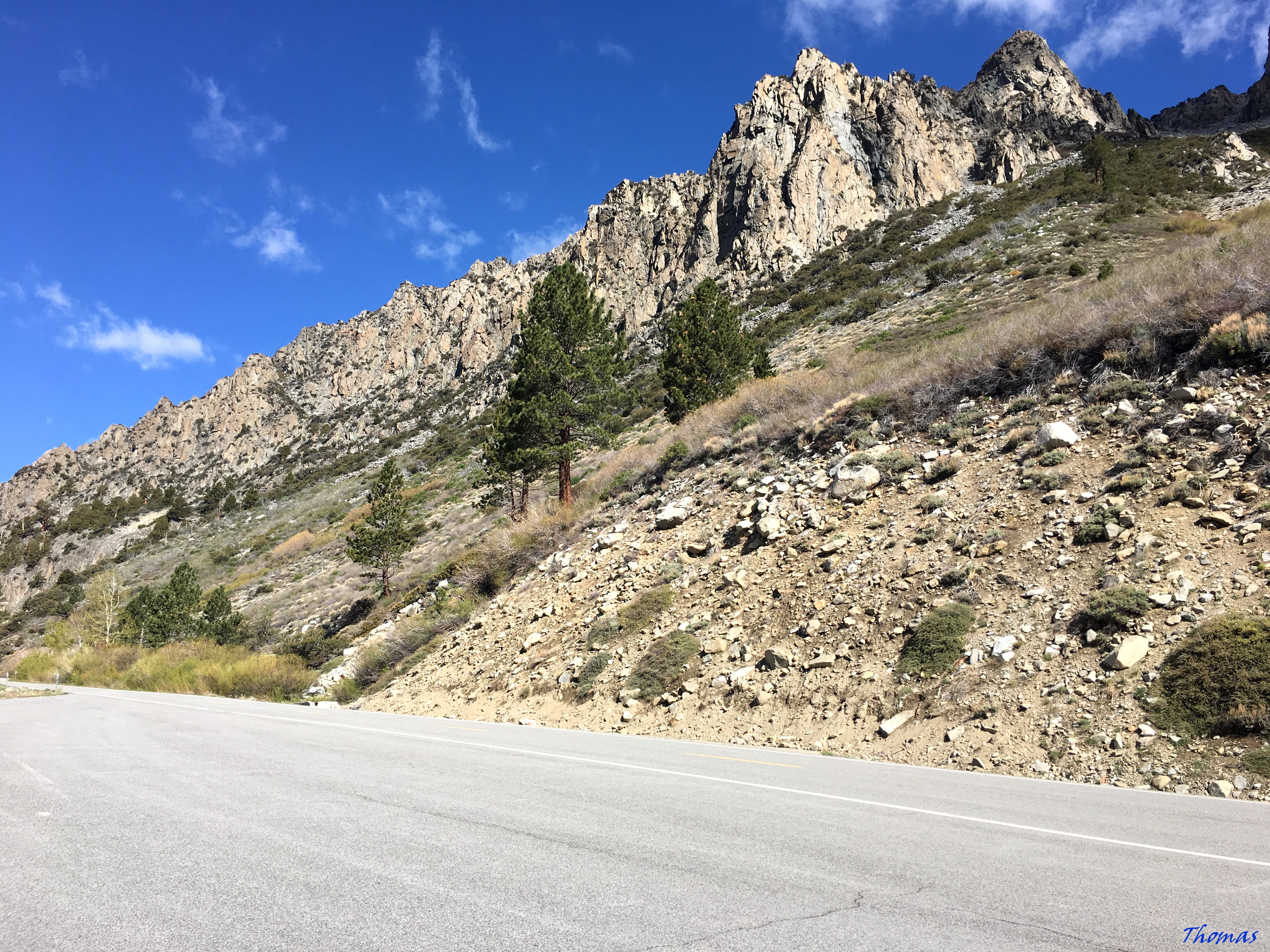
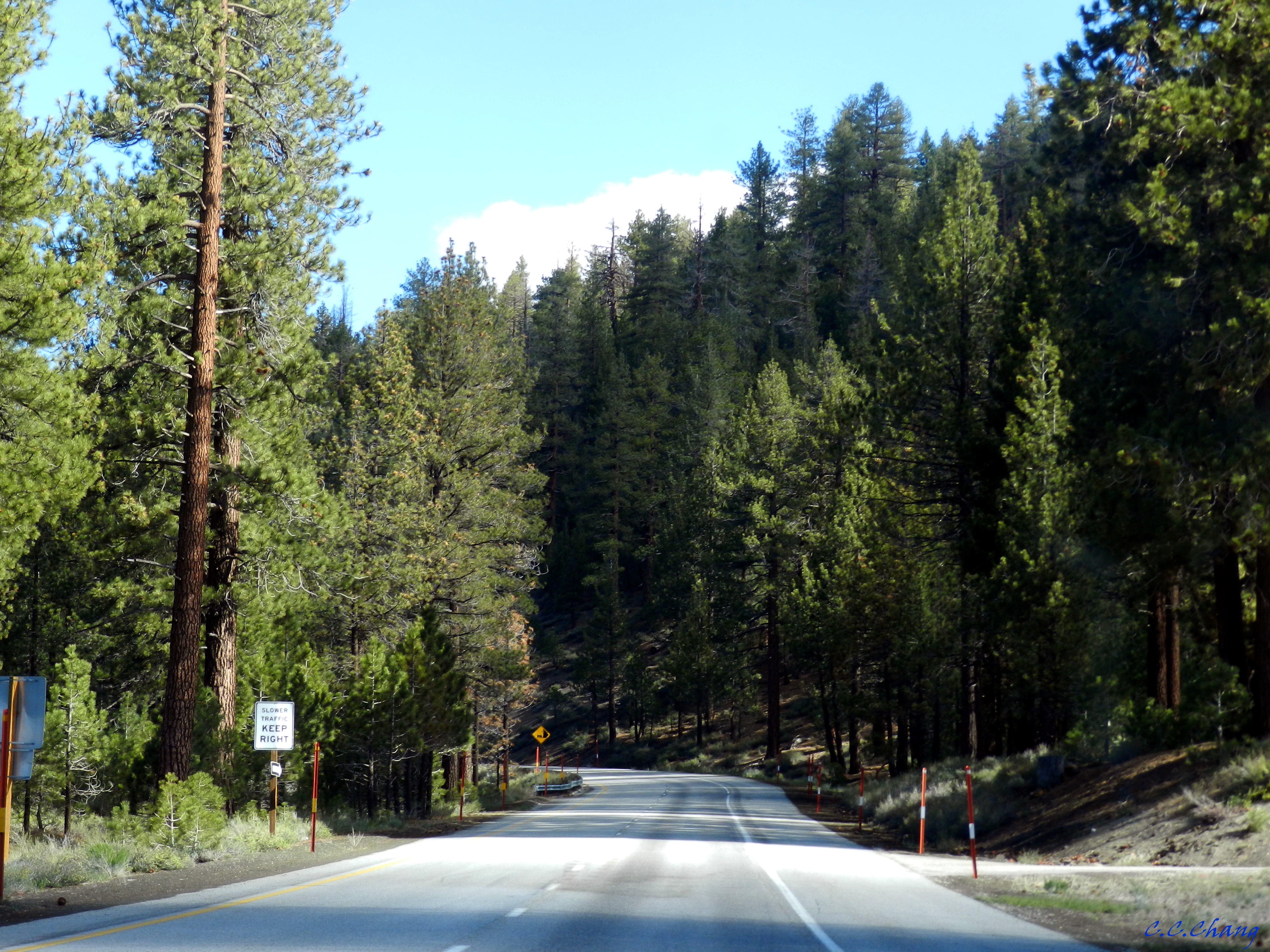
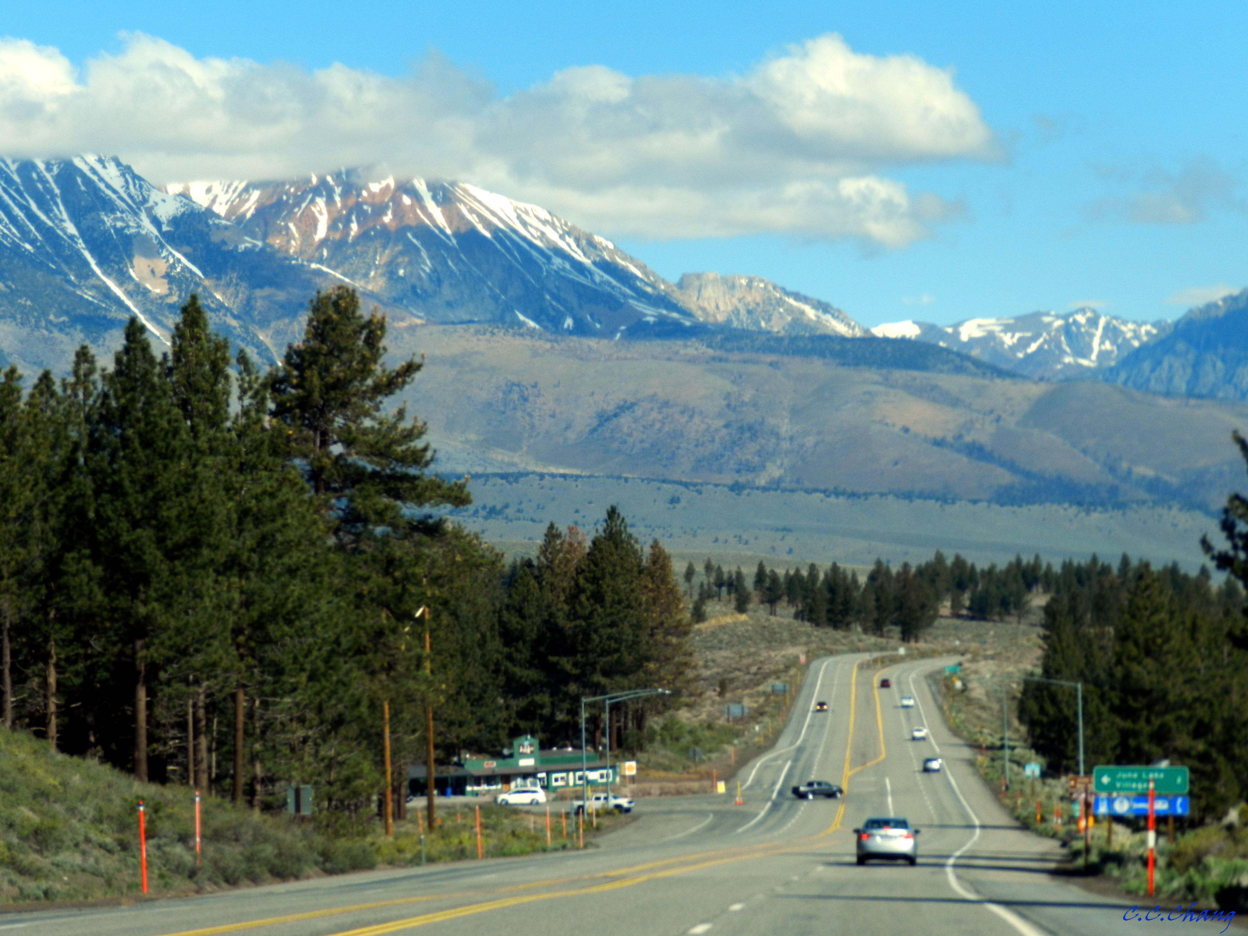
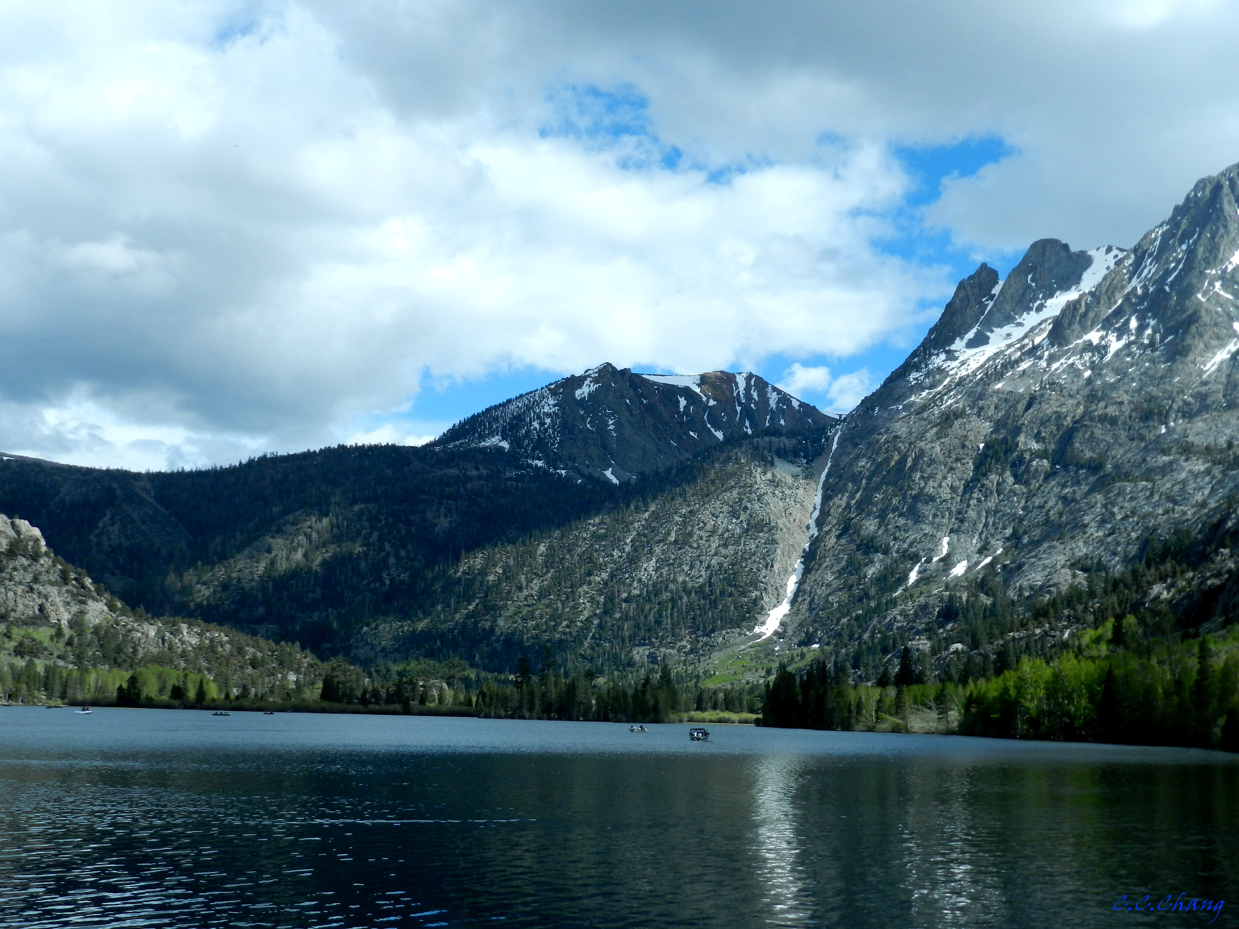
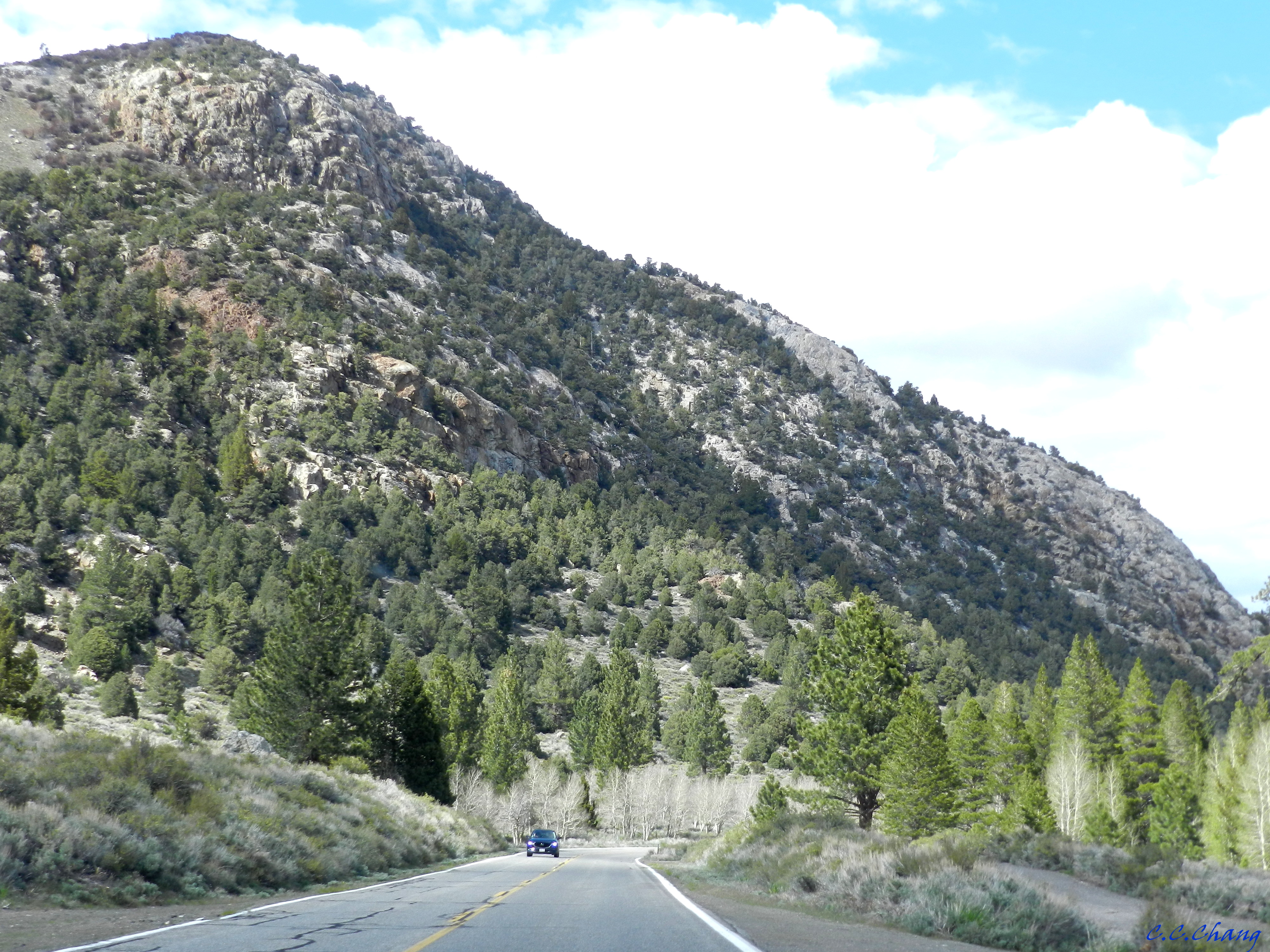
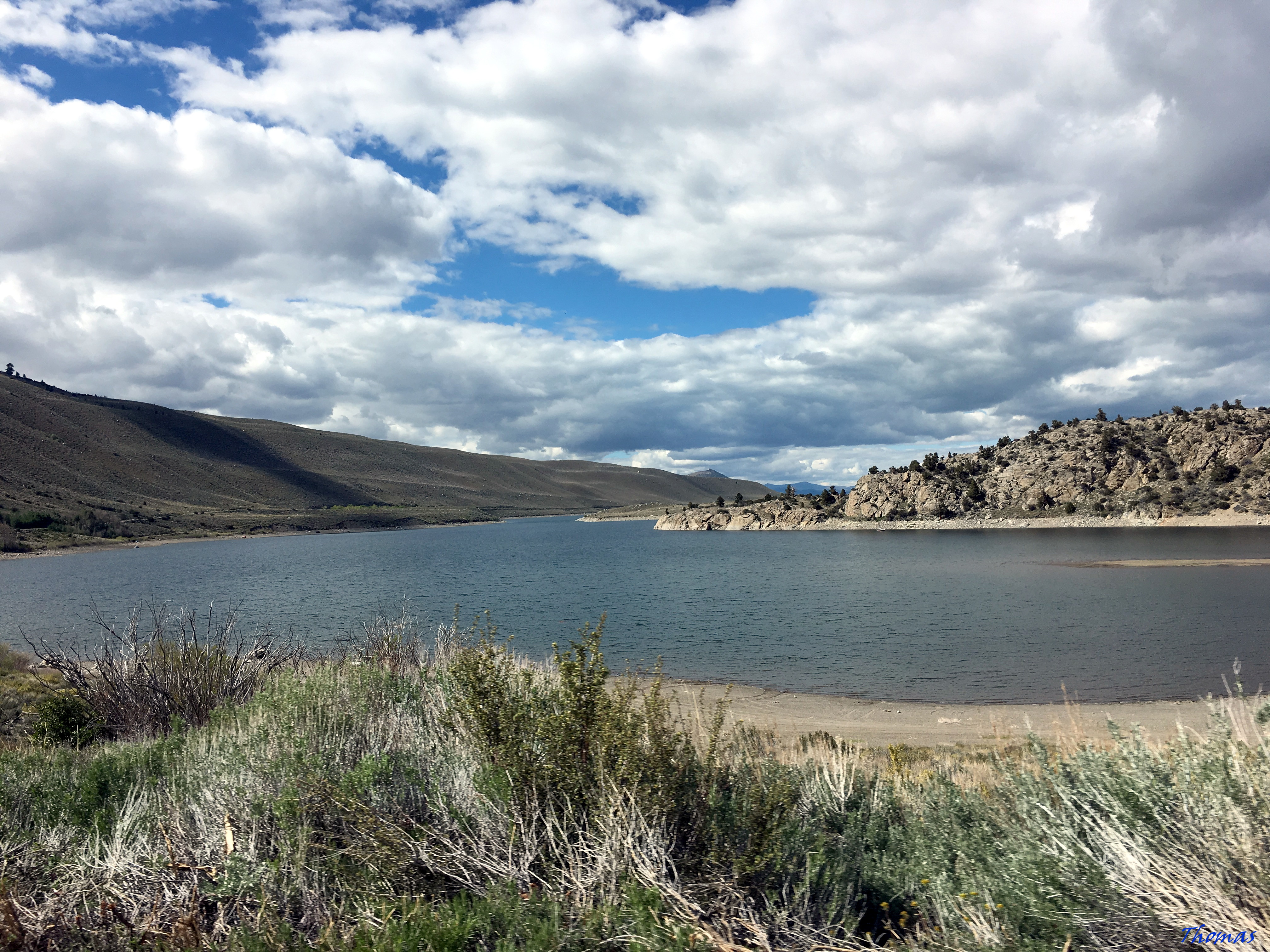
看到英文資訊的解說,才知道我們在Tioga Road的一路上,其實是順著狹谷地形往上爬升中。
The stream emerges from the Conness Glacier and picks up the water from Greenstone, Saddlebag, Tioga, Ellery and over a dozen other lakes in its journey down to the Mono Lake basin.
而在這峽谷中有條主要的溪流稱之Lee Vining Creek,它的源頭是Conness Glacier,之後流經許多湖泊(主要較大的湖有Greenstone, Saddlebag, Tioga, Ellery),最後注入了Mono Lake。
其實在車上,遠遠的就看到一條像瀑布的長絲帶!
我們放慢車速試著找個停車處,想下車觀看瀑布。
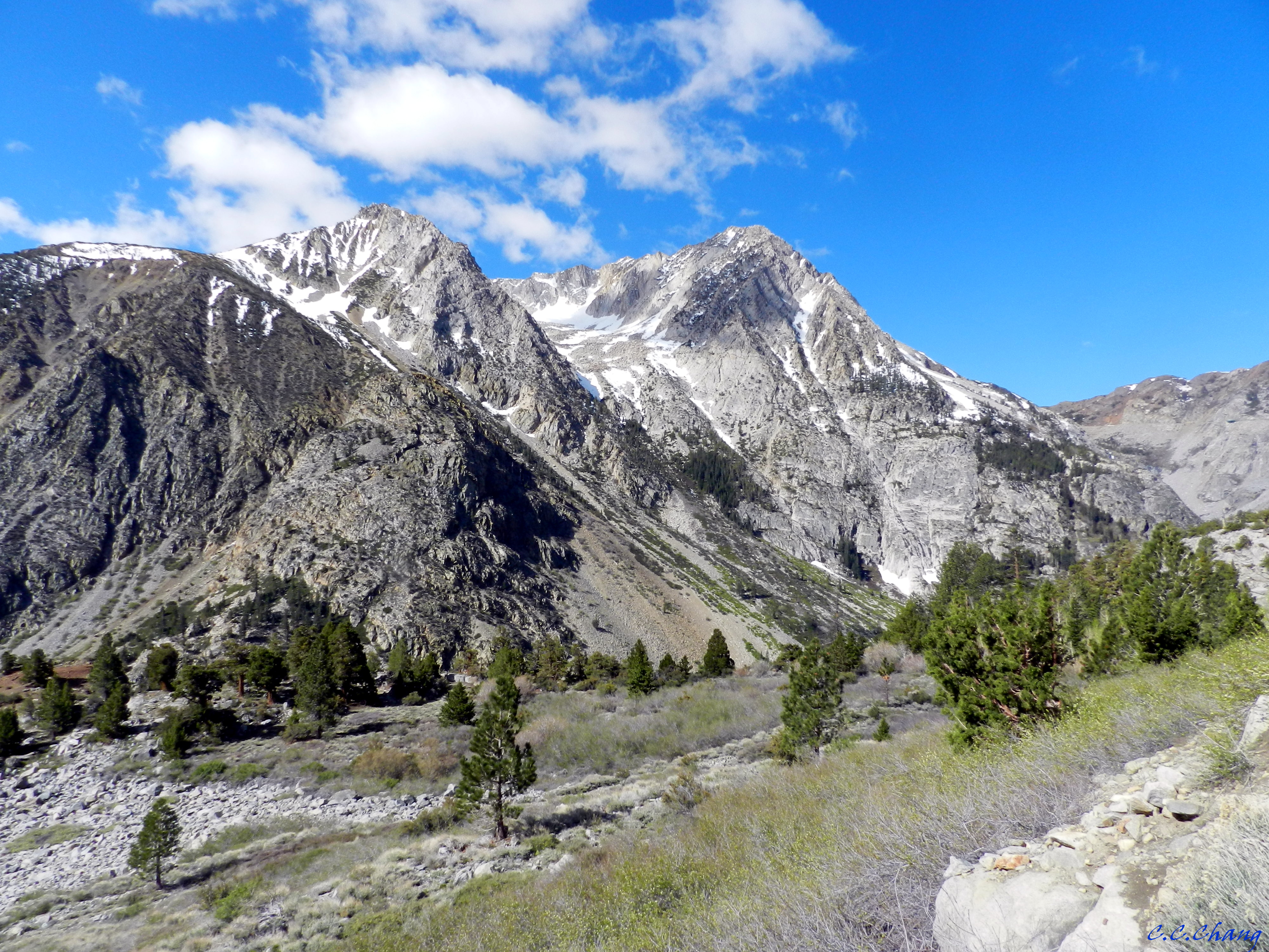
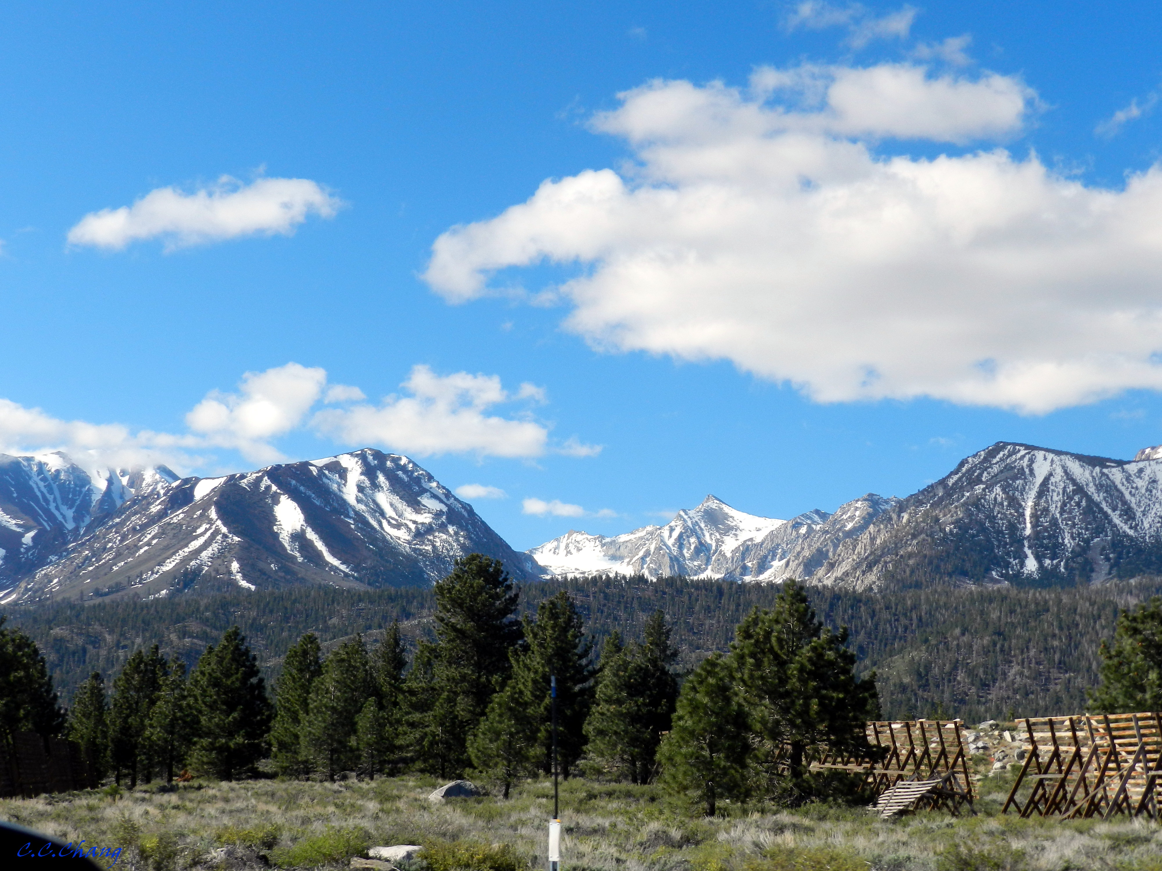
原來很多人也在這兒觀賞著瀑布,但我的目光被眼前山上這看似Glacier的積雪給吸引住了。
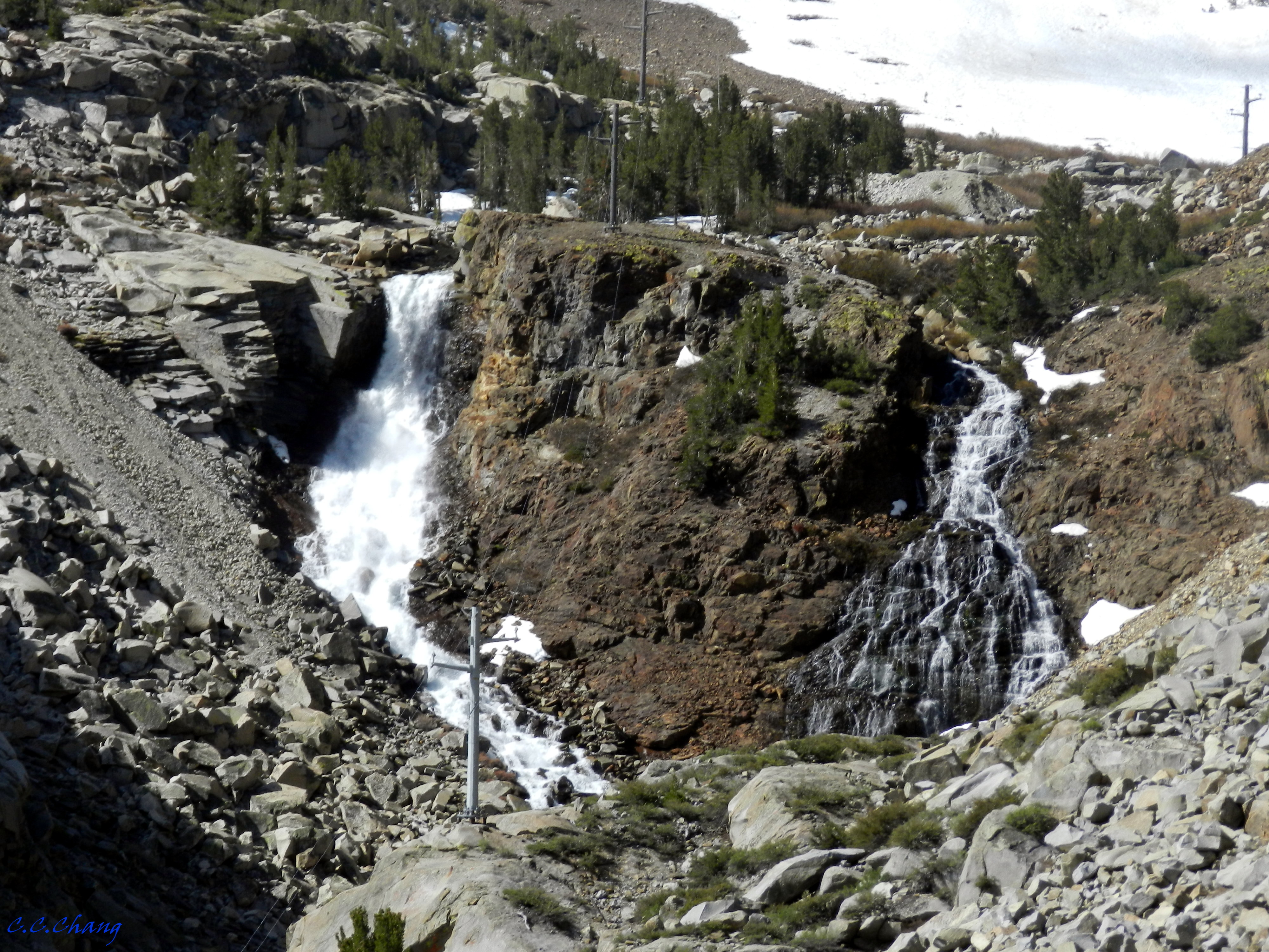
下車後才發現,這瀑布不只一條!
Ellery Lake Falls is the Unofficial name of this waterfall.
原來這個瀑布並沒有一個正式的名稱,大家之所以稱它為Ellery Lake Falls,應該是因為它是溪水流經Ellery Lake之後形成的瀑布。
這張照片中就有三條清晰可見的瀑布,上層有二條,下層是一條較長的白絲帶。
Right after the stream exits Ellery Lake it begins an extremely precipitous descent down Lee Vining Canyon, dropping over 1,600 feet in about a mile.
當Lee Vining Creek一流出Ellery Lake,因為地形的關係(峽谷)在短距離內(a mile)突然下降了超過1600 feet,因而形成了瀑布。
這Upper Falls是二道長度約70 feet的瀑布,可以看到左側的水量較大。
而這道瀑布應該算是Lower Fall,整條算來應該有幾百英尺長。
Because Lee Vining Creek has been harnessed in a hydroelectric system, the majority of the volume of the stream gets siphoned off for much of the year, and the falls only flow with any sort of regularity during the spring and early summer while the winter snow is melting. By the end of July expect the falls to be nearly dry.
因為水力發電廠控制的緣故,這瀑布只有在雪開始融化的春天和初夏才能看到,七月時沒有融雪的挹注,就全部乾涸。看樣子我們運氣還不錯!

